Our trip to Ontario - a photo essay

Last October, I flew over to the Ottawa Valley to visit Emma’s family. The weather was warm, the mushrooms were out, and we had a wonderful time exploring the farm and canoe camping in Algonquin park.

The Ruby Range - A hiker's paradise

I returned to Whitehorse from a month and a half of guiding on the West Coast Trail, eager to get to the mountains before the winter set in. I felt pressure to get out there and explore because the cold comes in darn quick up here. By late August when the sun sets, the down puffy jackets come out. Early September brings sub-zero nights, and by mid to late September, snow is falling in the higher elevations and most mountain trips become a little too cold and challenging.

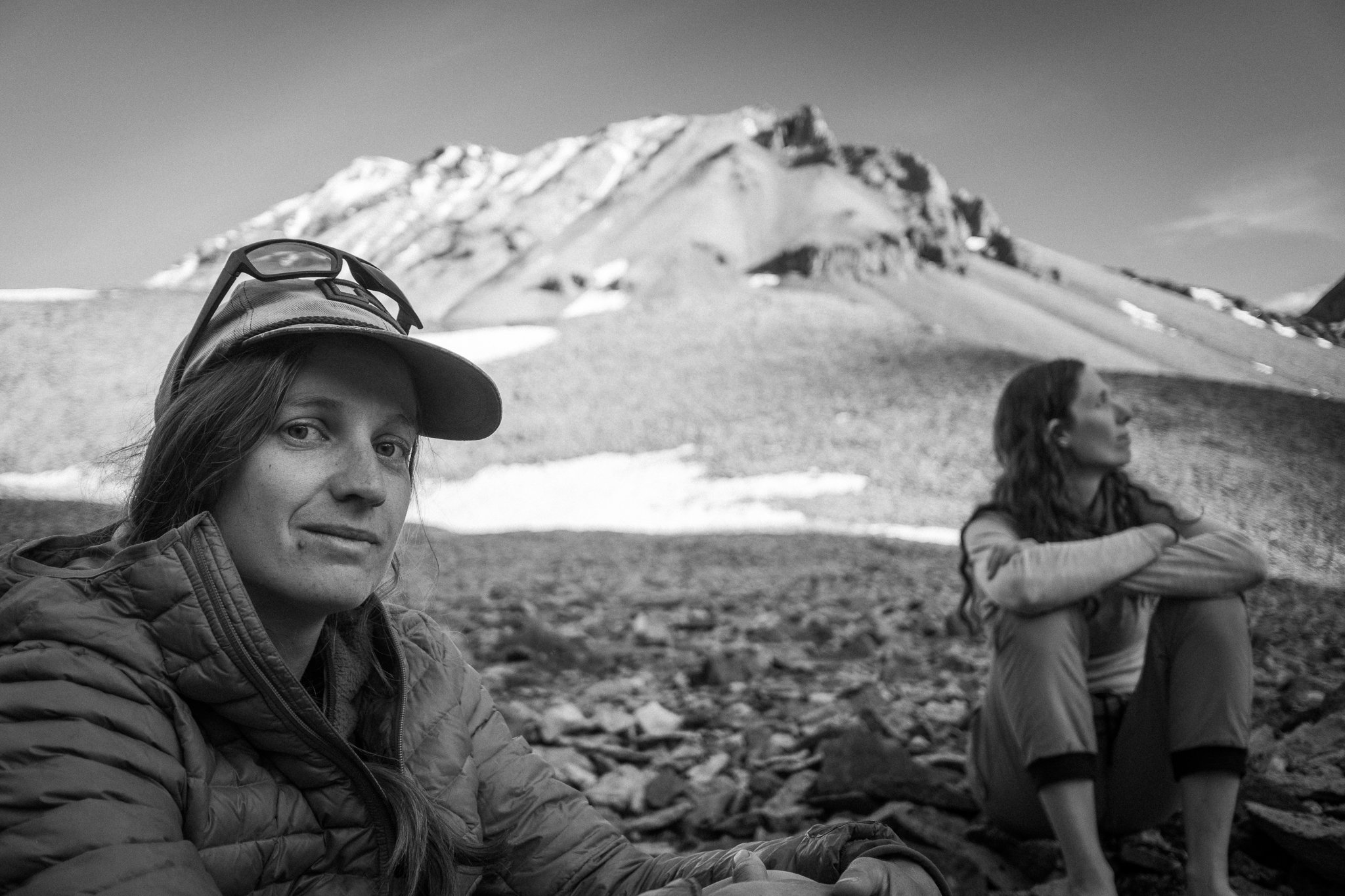
The Ruby Range was still high on my bucket list and I was determined to explore it before the season ended. To ensure I had the best odds of success, I decided to build a backpacking dream team with Mowgli as our leader and Sarah-Monique and I in tow.

Our fearless leader, Mowgli

Mowgli is the ultimate adventure dog. His long hair offers the ultimate insulation (got cold hands? Just grab his luscious coat of warm softness), his physical prowess scales mountains with ease, and his incredible training means ultimate dog control in the face of grizzlies and angry squirrels. Behind every great dog is a great dog owner, and that’s where Sarah-Monique comes in. Sarah-Monique is one of the fittest, strongest and positive adventurers I know. If I’m in running shoes carrying nothing, I can barely keep up with her carrying a 70lbs pack. She’s also incredibly positive, funny, and her smiles get exponentially bigger the harder things get. I carry an InReach to contact Search and Rescue if there’s an emergency, but I bring along a Sarah-Monique to make sure she can carry me out. She also has a big truck (which is what we needed for the river crossings).

Our plan was to drive along Łù’àn Mǟn to Tl’àt Kwäshäw, park somewhere in the area, hike up Printer Creek to gain the Ruby Range alpine, and explore the valleys around Swanson Creek. The area we’d be hiking in lies on the border of three different traditional First Nation lands; the Champagne and Aishihik First Nation (CAFN), the Kluane First Nation (KFN), and the White River First Nation (WRFN). The Ruby Range are important hunting grounds and Tl’àt Kwäshäw was a major traditional fishing place. The area is often used by all three nations and the CAFN have a culture camp nearby. We had heard that there was some kind of hunting trail going up to the alpine and we were hoping to avoid any major bushwhacking on our way up.

Tl’àt Kwäshäw - Big Deep Bay / Cultus Bay

Łù’àn Mǟn - Big Whitefish Lake / Kluane lake

Äʼäy chù - Glacier Water / Slims River
— Southern Tutchone

I left bright and early from Whitehorse, hopped into Sarah-Monique’s red truck in Haines Junction, and a couple more hours and three creek crossings later, were parked on the side of the road staring at a wall of dense trees. I looked at the map, looked at my compass, pointed at the trees and off we went!

What bad bushwhacking looks like (can you see me?) - photo: Sarah-Monique

Within a few minutes, we started finding well-worn trails that crisscrossed the forest. Given the extensive patties on the ground, we thought these trails might be the result of a herd of bison or cattle nearby. We followed these trails for the first few hours and were absolutely elated at how easy the hiking was. We were aiming for a notch in the pass above us and while we had a lot of elevation to gain, we felt like it was going to take us no time at all.

As we gained more and more height, the trails started getting thinner, sporadic, and less defined. The last game trail finally petered out and we were engulfed in some truly heinously thick black spruce, willow and berry bushes. We peered across to the other side of the drainage and realized that we had let this cattle shortcut lure us into the bushier aspect of the valley. Fighting our way forward at less than a kilometer an hour, we decided to cut across to the other side of the drainage to what looked like marginally less thick vegetation.

While I was busy trying not to be entirely consumed by the bushes pulling at my legs, I looked back and Sarah-Monique was stuffing herself with berries. In my horse blinders/“I’m a guide I need to navigate” mindset, I had completely overlooked that the bushes surrounding us were covered in every berry imaginable. Crow berries, bearberries, cloud berries and cranberries galore!! You could reach down and pull up a handful of berries every time. We had lucked out and arrived in peak berry season.

A few more hours and many gratuitous handfuls of berries later, we reached the pass and entered a completely different landscape. Entering the Ruby Range proper, the terrain transformed into an alpine tundra devoid of any trees or thick bush. We were also relieved to find a well worn packhorse trail down the middle of the Swanson Creek drainage. We turbo’ed down the trail, stoked to be past the bushes and found a nice little bench overlooking Swanson Creek for camp.

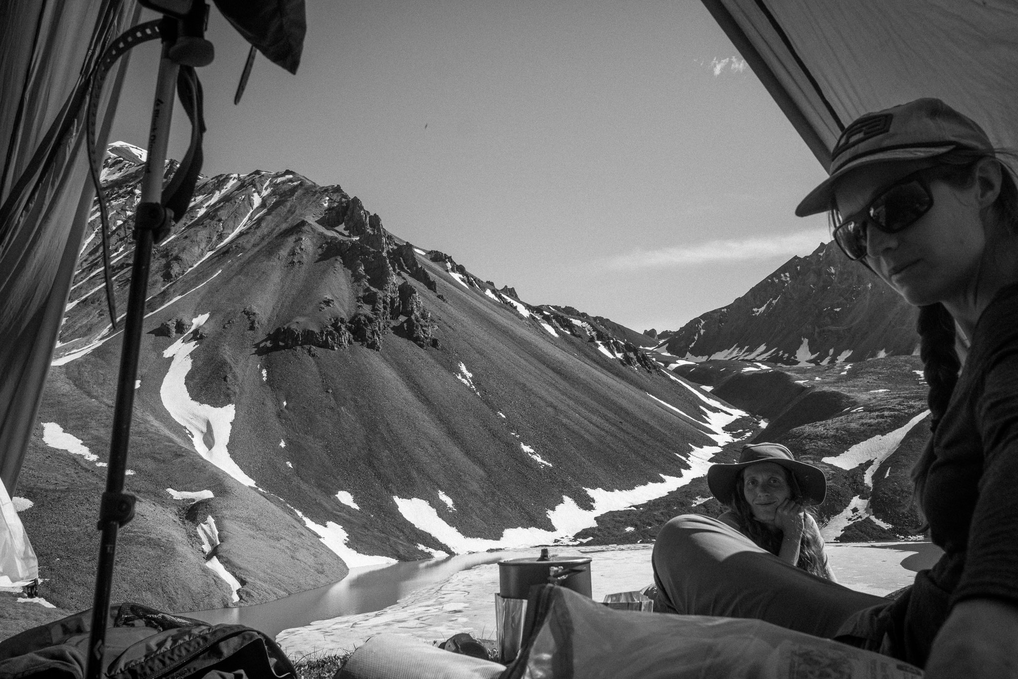
Hanging out with Sarah-Monique and Mowgli in our cook shelter, I pulled out my trumpet mouthpiece and started buzzing. I couldn’t bring my trumpet with me, but a little bit of mouthpiece buzzing is a good substitute when you can’t practice on the real thing. Mowgli immediately got up, started pacing in circles and compulsively digging beds to lie in. When the buzzing stopped, Mowgli would give us a “what the hell is going on” look, then immediately start acting weird again when the buzzing resumed. We were in stitches laughing at this broken dog losing its mind over the mouthpiece noises.

Berries!


Gaining towards the pass - photo: Sarah-Monique

The next day we went exploring to the east of Swanson Creek. The weather had rolled in and we spent the day hiking in low visibility and against some pretty intense winds. The terrain around us was funneling and focusing all the wind and the lack of trees meant there wasn’t anything to break the wind’s energy. Any tarp shelter we tried putting up would either billow up like a sail, or completely flatten in the relentless gusts. While the hiking terrain was relatively easy, the wind really beat us up. We got back to camp with wind burnt cheeks and ringing ears from wind howling around us. The evening brought some calm to our campsite, and we enjoyed some great food huddled for warmth around our little white gas stove.

On our final day, we headed west and gained a ridge that extended straight into Łù’àn Mǟn. We had spectacular views of Kluane National Park, Łù’àn Mǟn, and Äʼäy chù. It was so cool to see Łù’àn Mǟn extend for tens of kilometres on either side of you, fenced in by the imposing rock walls of the Kluane Range. We were able to easily follow this ridge with very little bushwhacking all the way to the road going along Łù’àn Mǟn. A 30 minute jaunt along the road and we were back at Sarah-Monique’s truck.

The Ruby Range is such a cool place! It doesn’t take much before you’re immersed in the alpine tundra and it’s beautiful, hypnotic rolling hills. We only scratched the surface of this place and I can only imagine what lies deeper in the range.

All Southern Tutchone place names were taken from the Yukon Geographical Place Names Board with help from Luke Campbell (CAFN).

Bock's Lake - When plan A doesn't work

Just before leaving Whitehorse for a month and half of guiding on the West Coast Trail, I wanted to head out into the mountains to explore some new places. At the top of my list of places I wanted to explore was the Ruby Range. The Ruby Range mountains are essentially the easterly foothills of the St. Elias Mountains. I was really interested in exploring this place because it’s not in the National Park (no permits required), the mountains are slightly rounder / easier to navigate, and the terrain a little bit more conducive to hiking. On one of the hottest days of this years summer, Emma, her sister Loreena and I had packed our bags and were off to try to get into these mountains
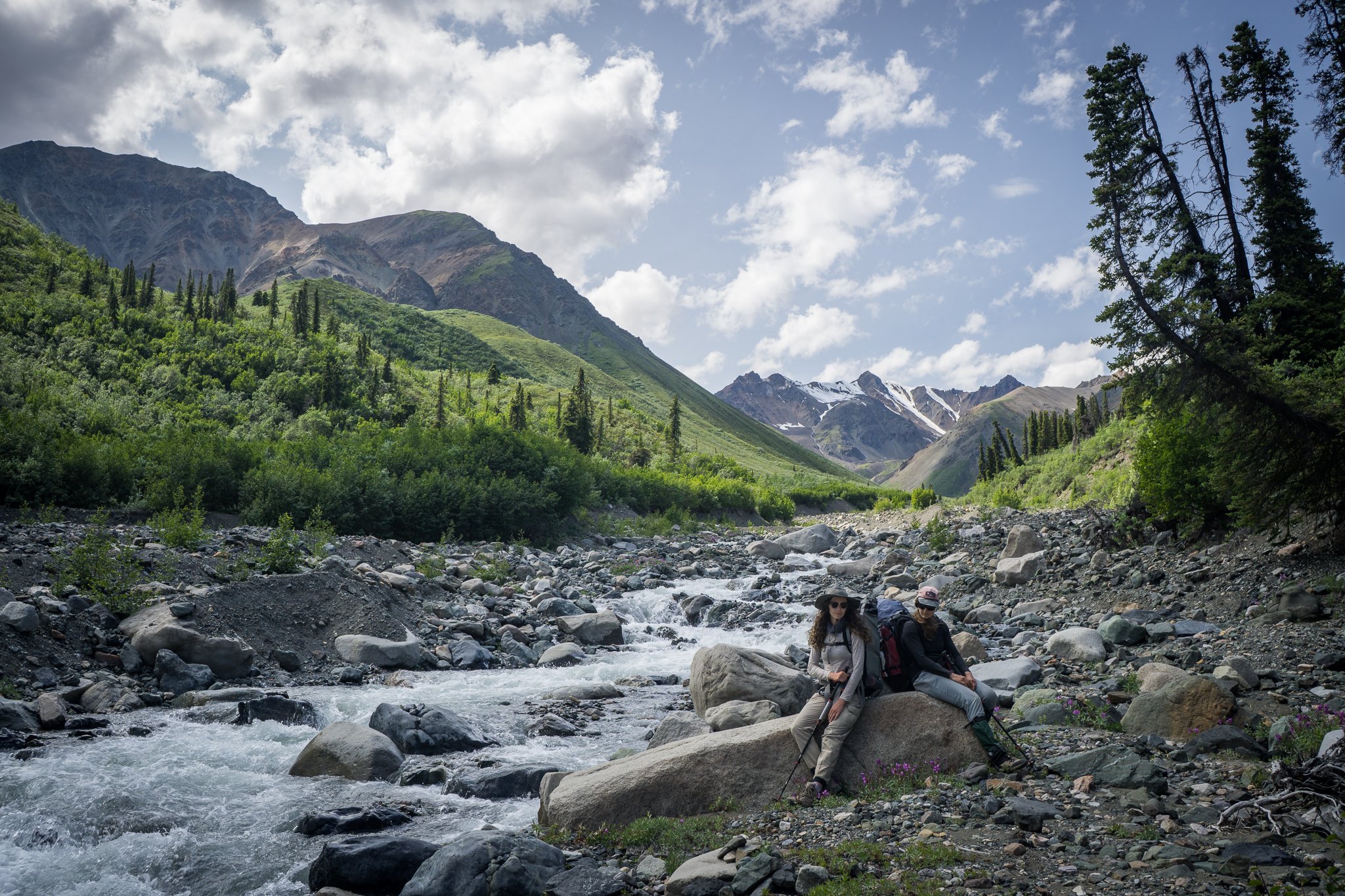
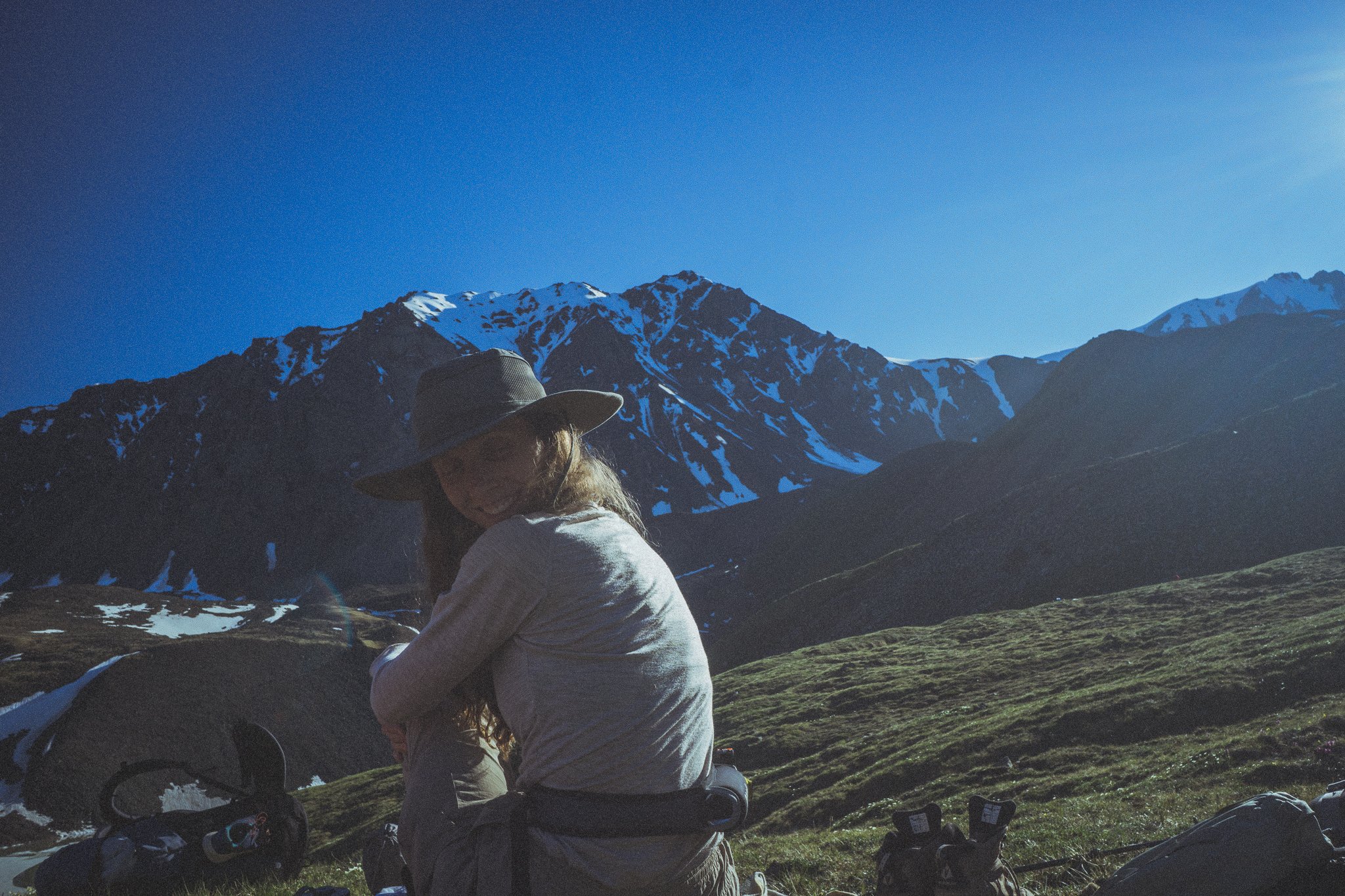
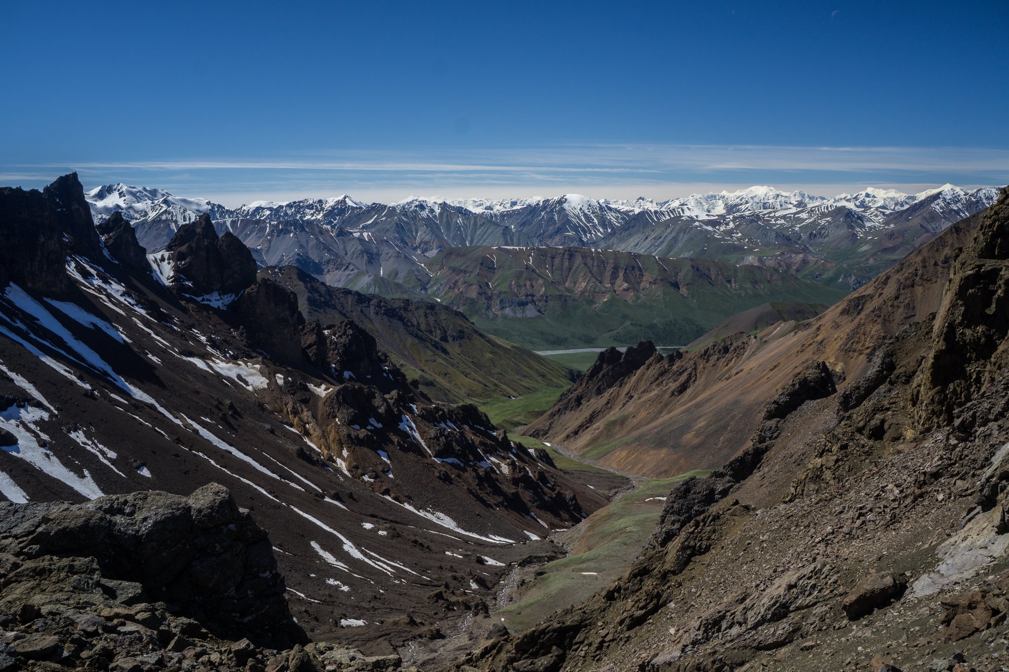
We turned off the highway and after 15 minutes on an old dirt road were blocked by fairly large creek flowing across our path. We scoped out the creek, measured the water depth, and tried to convince ourselves that our vehicle could make it to the other side. Unfortunately, our confidence just wasn’t high enough and the last thing we wanted was to wreck our Nissa Xterra (nicknamed Crossfit Janet) 20km before the start of the hike.

It was pretty disappointing having to turn around, but there wasn’t much else to do.

Pictograph? Graffiti? Glacial scarring?

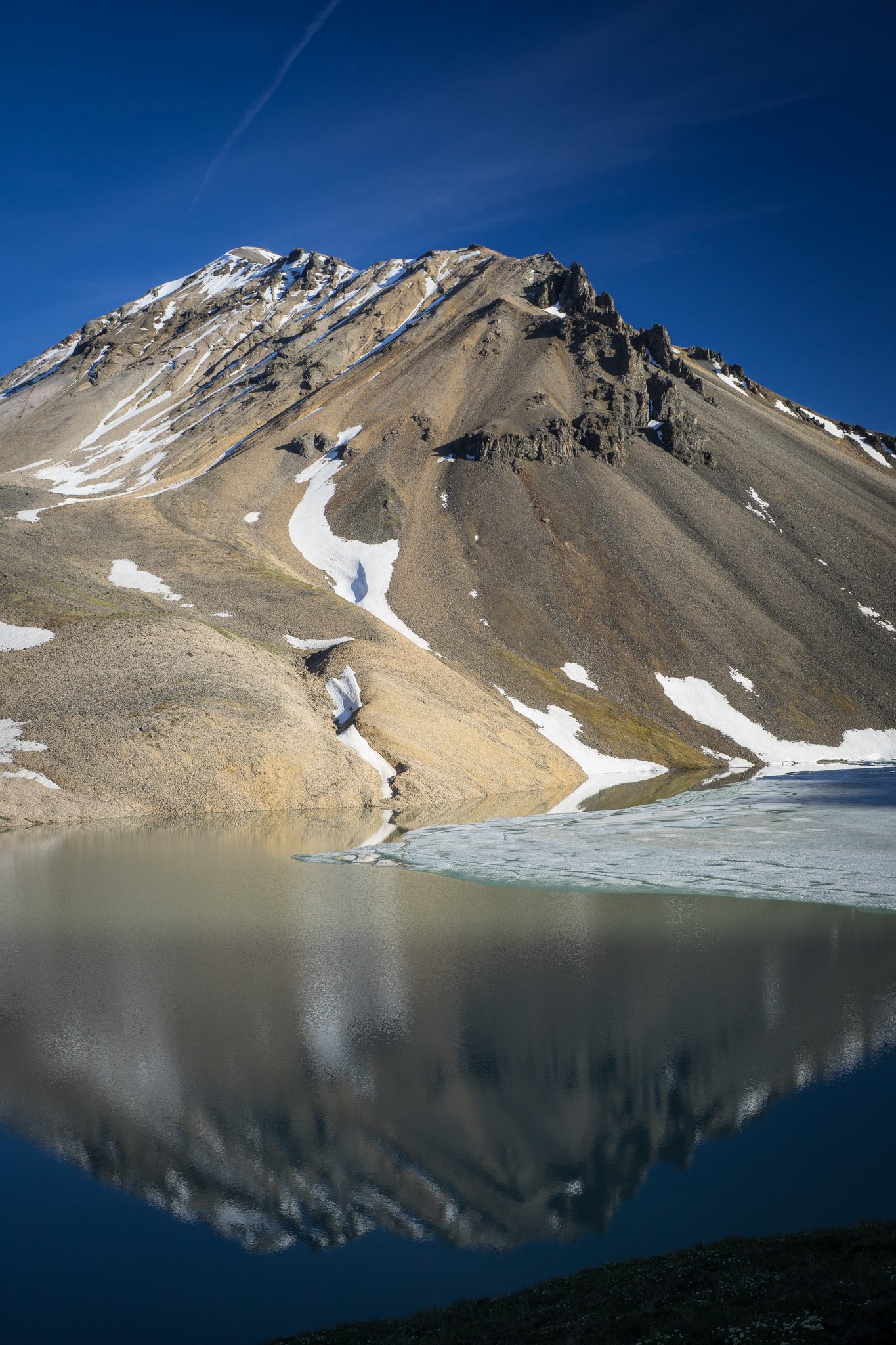
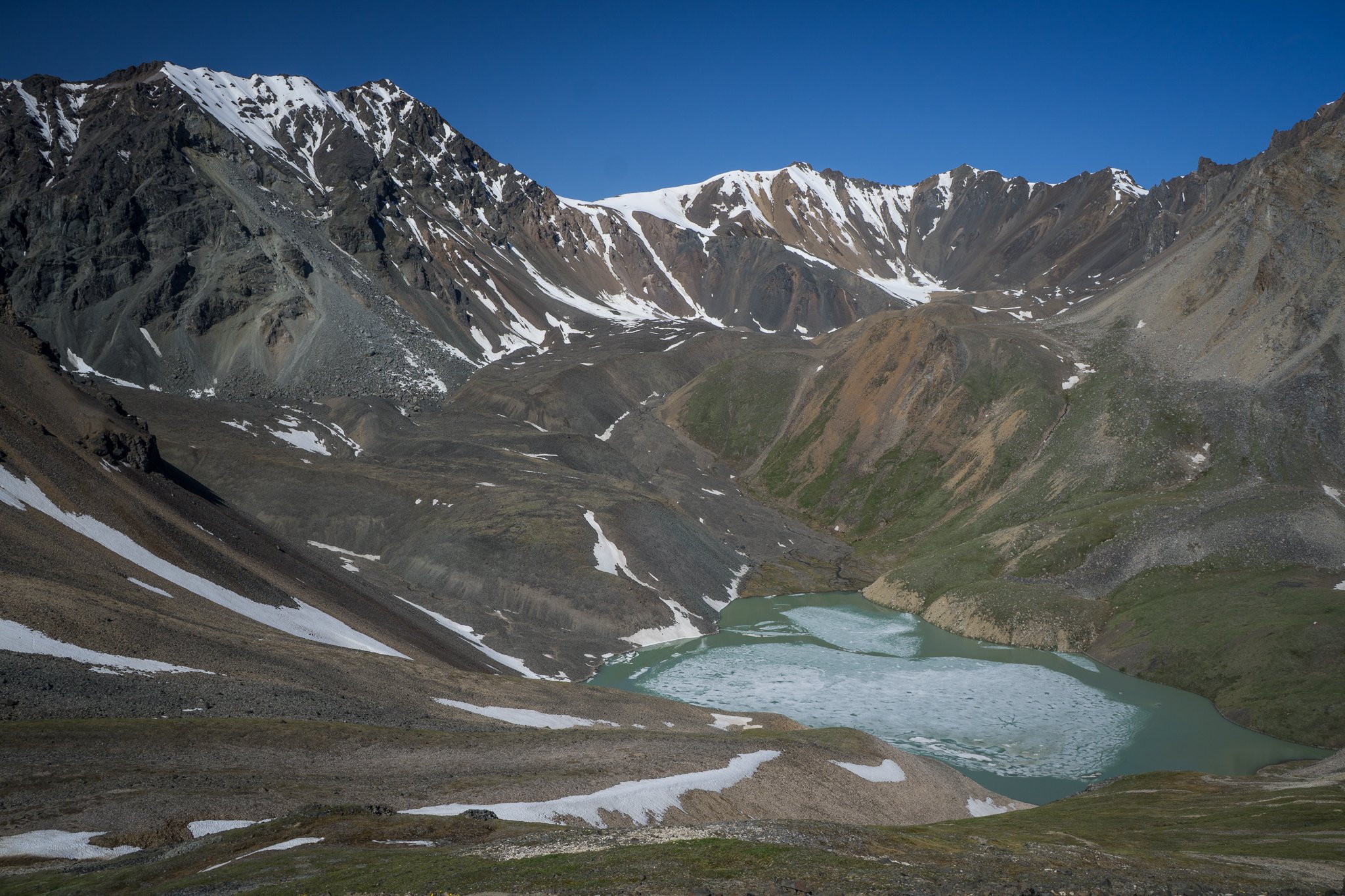
Luckily, Emma is awesome and within a few minutes had come up with a great alternative plan, Bock’s Lake. Bock’s lake is a little alpine lake nestled at the mountainous gates of Kluane National Park. It’s a bit of a sun exposed grind up Bock’s creek, but once at the lake you’re rewarded with incredible views of Kluane National Park.

We got to the trailhead, strapped our packs to our backs and headed up the creek. For once, there isn’t much to talk about the trip. The hiking was nice, there was no drama, the weather was spectacular, and the views phenomenal. Hard to ask for a nicer three days.


Over the next few weeks, I’ll be posting some stories from my fall season. I was lucky enough to get two more backpacking trips in and fly out to Ontario to see some family. I’m also working on a new project that I’m excited to announce soon!